Best Hikes In Saguaro National Park: 11 Hiking Trails You’ll Love
Arizona is home to some of the most mind-blowing and unique landscapes in the United States. And if you’re looking for an epic way to explore it, you’ll love taking on the best hikes in Saguaro National Park.
Hiking in Saguaro National Park comes with many perks. Aside from walking through giant saguaro cacti forests, you’ll also get to see petroglyphs left by the ancient Hohokam people and amazing desert views of the southwest.
Saguaro National Park hiking is for every fitness level, so whether you are a beginner hiker or a pro, you’ll find a trail you’ll love. This unique national park is home to incredible hiking trails dotted with switchbacks, loops, winding paths, and scenic out-and-back trails.
Now that you’re excited, let’s explore Saguaro National Park and its best hikes!
Disclosure: This post contains affiliate links. If you click one of them, I may receive a small commission (for which I am very grateful for) at no extra cost to you.
SAGUARO National Park
Related Posts
What To Pack For Hiking Saguaro National Park
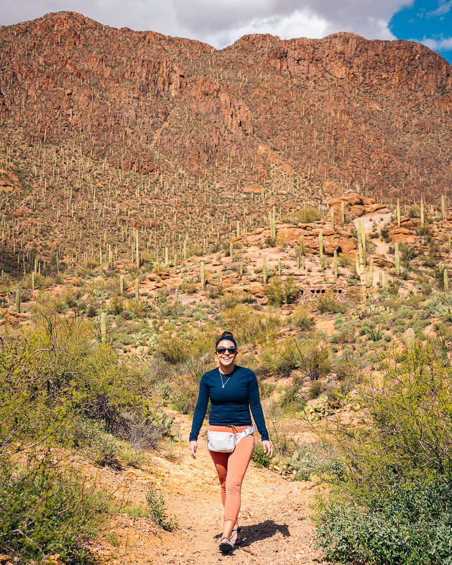
- Sunscreen: Many Saguaro National Park trails do not have any shade, so bringing sun protectants like sunscreen, a sun hat, or a cap is a must. >Buy Sunscreen
- Hiking Boots/Shoes: You’ll need steady and comfortable shoes to trek through the best hikes in Saguaro National Park, as some require climbing and scrambling over boulders. >Check Out My Hiking Shoes
- Hiking socks: Having the correct socks helps you prevent getting blisters. Smart Wool is probably my favorite brand out there. >Buy Hiking Socks
- Refillable water bottle: Temperatures get extremely high in Saguaro National Park, especially in summer, so make sure to bring a bottle to refill at available stations, mainly at the visitor centers >Check Prices Now
- Sunglasses: Protect your eyes with UV-glazed sunglasses.>Check Out These Sunglasses
- Snacks: Bring portable, protein- and energy-rich snacks to keep your energy levels up, especially on longer and more challenging Saguaro National Park hikes. Cliff Bars are great for hiking.
- Trekking Poles: This is an optional product, but they really help with the knees. The poles I have listed are known to be one of the best in the market. >Buy The Trekking Poles Here
- Camera: Bring a digital camera to snap great photos of the most scenic Saguaro National Park hikes and the desert critters you may spot along the way. >Buy Sony Camera Here
- First Aid Kit: This is one of the first things I bought when I started hiking. >Buy This Awesome First Aid Kit Here
- Day Pack: Bring a small but functional bag to fit all your hiking essentials. >Buy This Great Quality Backpack
- Good hiking pants: These are probably the best hiking pants that I have found. >Buy my hiking pants here
- Breathable sweat-wicking shirts: It’s important to go on hikes with the right outfit. Wearing fabric like cotton makes you sweat faster and essentially lose more water. Always opt for breathable and stretchy material. >Check This Shirt Out
- Sports Bra: For women. >Buy One Here
- Jacket: Only in the winter >Buy My Favorite Jacket
- National Park Pass: I highly recommend getting a year-long America The Beautiful Pass. >Get It Here
- Map: I love the National Geographic Maps! They are the best! >Buy One Here
Claim your FREE Hiking Checklist
Ready to start hiking? Grab my free hiking checklist and never forget anything at home!
Where To Stay in Saguaro National Park
To experience Saguaro National Park and all it has to offer, you’ll need to stay in the park or in accommodation nearby for several days. Here are a few options for you to consider as your base.
Luxury: JW Marriott Tucson Starr Pass Resort & Spa
The JW Marriott Tucson Starr Pass Resort & Spa is a stunning desert oasis where comfort meets Western charm. At this 4-star hotel, you’ll get stunning views of a saguaro forest and high-end amenities, like a fitness center and a spa, all in one property.
In addition to spacious rooms, you’ll also get a balcony or patio to enjoy the views. Start your day with an American buffet breakfast from Signature Grill before heading down for a golf game or a dip in one of the outdoor pools.
Tucson Starr Pass Resort also has a Mediterranean restaurant and a sports bar where you can enjoy southwestern cuisine. The hotel’s Hashani Spa is a great palace to decompress and relax after a long day of sightseeing. They offer a range of treatments like body scrubs, body wraps, facial treatments, and massages. >>>View Rates and Availability
Mid-range: The Tuxon Hotel, Tucson
Situated in the heart of Tucson, this modern boutique hotel effortlessly blends the city’s natural beauty and the emerging cultural scene. Dotted with vibrant pop art and contemporary-style furniture, the Tuxon Hotel is an excellent accommodation spot in southern Arizona.
The hotel’s beautifully-styled rooms offer a terrace, much-needed air conditioning, and free Wi-Fi. You’ll also find a refreshing outdoor swimming pool, where you can sample tasty craft cocktails from the pool bar.
You can also enjoy great Tucson amenities at this hotel. From biking along a 131-mile trail to visiting the Tucson Museum of Art and Reid Park Zoo, you’ll have lots to do. The hotel is only a stone’s throw from downtown, giving you easy access to some of the best things to do in Tucson. >>>View Rates and Availability
Budget: Sonesta Select Tucson Airport
If you’re looking for a budget-friendly option, look no further than Sonesta Select Tucson Airport. This lovely 3-star hotel boasts spacious rooms and well-crafted common areas where you can make acquaintances.
Kick off the day with a workout at the gym before enjoying a continental breakfast. Spend some time by the swimming pool, or head to the Commons at Sonesta Select and Bar for a refreshing drink.
The hotel offers free transfers from the airport, as it’s only 0.3 miles away. You’ll also be close to other top attractions like the Pima Air & Space Museum and other fantastic sightseeing spots around Saguaro National Park. >>>View Rates and Availability
Campsite: Juniper Basin Campground
If you’d like to explore as many Saguaro National Park hikes as possible, you’ll have a better chance if you stay within the park. Luckily, Saguaro National Park offers six campgrounds with numerous sites that take up to 18 people.
A good choice is the Juniper Basin Campground. It has three campsites at an elevation of 6,000 feet. Similar to other campgrounds, you’ll have to hike up the Tanque Verde Ridge Trail for 6.9 miles to get to this site. Take note of the scenery changes from scrubs of saguaro cacti to pine and oak juniper woodlands.
A few things to keep in mind is that water is seasonally available here, with the driest time being spring and fall. You’re also allowed to start fires here, but only using dead and downed wood. >>>Find Out More
Read More: Best Hotels Near Saguaro National Park | 10 Amazing Stays
Map Of Saguaro National Park Hikes
Below is a Google Map of all the hikes listed, but here is the official map on NPS.
Best Time To Go Hiking in Saguaro National Park
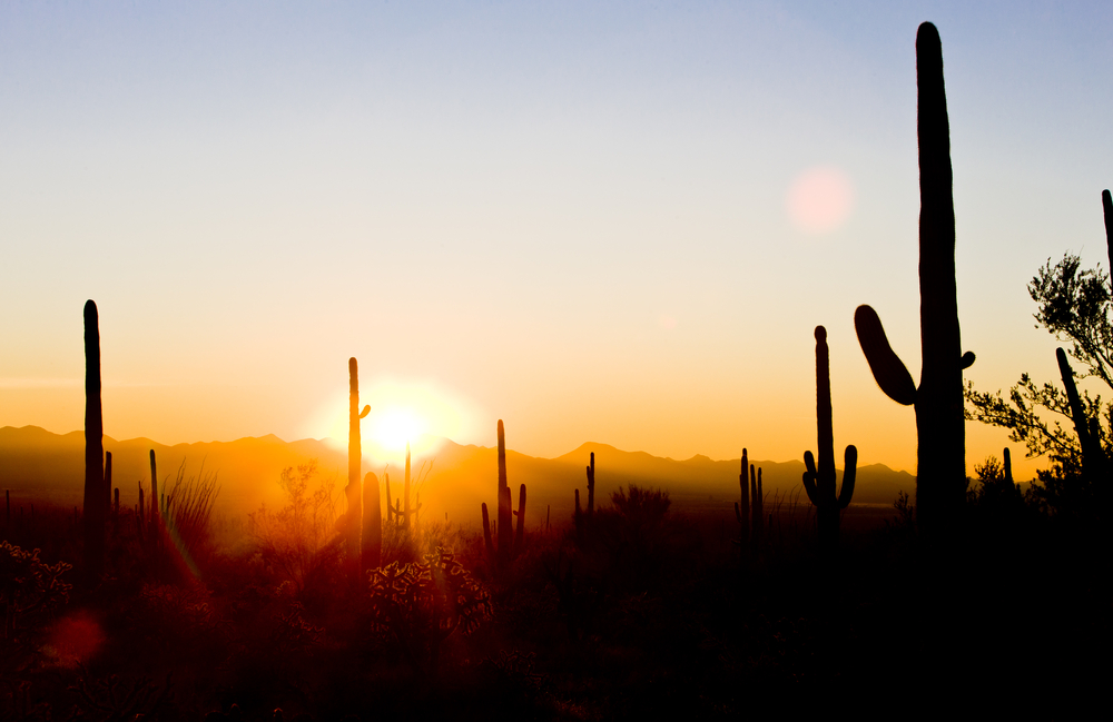
The best time to visit Saguaro National Park typically depends on what you’d like to see and do. In summer, daytime temperatures often reach triple digits, making it too hot for hiking. So you’ll need to bring lots of water and only opt for shorter and earlier hikes.
In fall and spring, daytime temperatures are still quite high, but the park sees fewer visitors, so you’ll have most of the cactus forest to yourself. During these shoulder seasons, prices for attractions and accommodations near Saguaro National Park also tend to decrease, this is with the exception of Spring Break and other holidays.
Winter is also a great time to visit. The mild temperatures bring cooler days, making hiking longer routes possible. The park also sees fewer tourists in the winter, so prices may be lower.
How to Get To Saguaro National Park
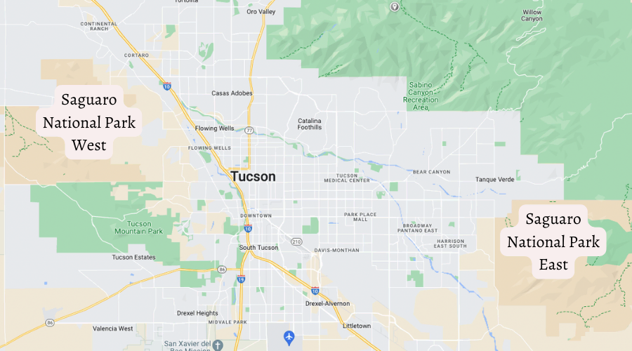
If you’re flying in, you’ll land at Tucson International Airport, about eight miles south of downtown. From there, you can get a private transfer to your hotel or head to the park.
Both sides of the park are about a 30 to 45-minute drive from downtown Tucson. The east side is closer to the outskirts of the city, making it possible to grab a bite at a nearby eatery in between tackling the best hikes in Saguaro National Park.
You can get to Saguaro National Park trails in the east by taking E 22nd Street from downtown to the E Old Town Spanish Trail. Continue driving until you see the Rincon Mountain Visitor Center board.
To get to the lush saguaro trails in the west, you’ll take the W Gates Pass Road through Tucson Mountain Park, also from downtown. Then you’ll drive to the Red Hills Center.
11 Best Saguaro National Park Trails
Whether you’re looking for a relaxed hike or something that’s challenging and makes you sweat, Saguaro National Park has you covered. Check out these best trails in Saguaro National Park you can explore:
Sendero Esperanza Trail
- Elevation Gain: 1,040 feet
- Mileage: 5 miles (out-and-back)
- Difficulty: Moderate
- Trail Guide: Link
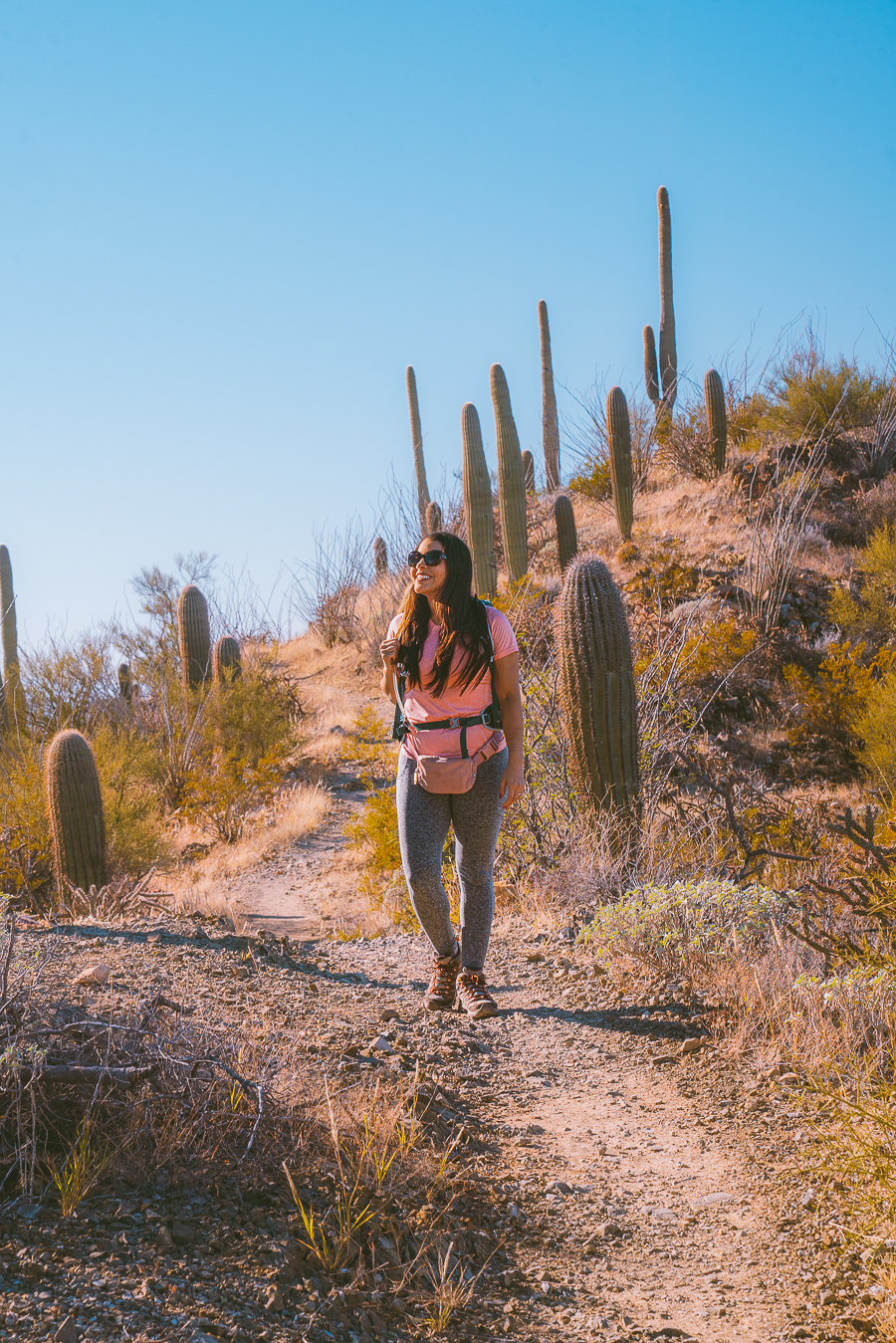
If you’re a strong beginner or a moderate hiker seeking stunning views, the Sendero Esperanza hiking route is for you. This is a great trail for nature photography as it’s dotted with colorful wildflowers. It also leads you up a ridge, where you’ll get superb views of the cacti-rich Saguaro National Park West in the Tucson Mountain District.
This trail is moderately challenging and takes about two and a half hours to complete. But it’s mostly flat and relaxed until the last climb when it goes up the ridge. The incredible scenery over Amole Peak and the Red Hills make the scrambling up all worth it.
From the south, the trailhead starts along King Canyon Wash Trail. As you head west, you’ll spot large prickly pear cacti and creosote bushes along the way. After hiking through the sandy wash, you’ll face steep climbs and switchbacks before reaching the ridge.
This is one of the best Saguaro National Park hikes as it crosses over several other great trails, like the Hugh Norris and King Canyon Trail. It’s also a good starting point If you want to hike to Wasson Peak.
Mica View Trail
- Elevation Gain: 49 feet
- Mileage: 1.9 miles (out-and-back)
- Difficulty: Easy
- Trail Guide: Link
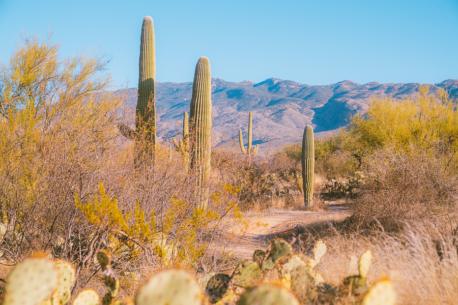
The Mica View Trail is one of the shortest and most popular hikes in Saguaro National Park’s Rincon Mountain District, the east side of the park. This is a relatively flat route that passes through open ground, giving you terrific views of the Santa Catalina Mountains and the Rincon Mountains.

This is one of the easiest hikes in Saguaro National Park and takes about 30 minutes to complete. You can access the southern trailhead from the Mica View Picnic Area, just one mile off the Cactus Forest Loop Drive.
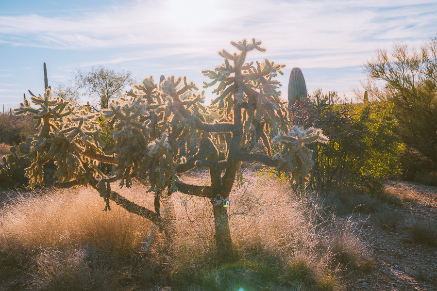
As you head north along the trail, you’ll pass lush vegetation comprising mesquite and palo verde trees, cholla, and lots of saguaro cacti. Keep your eyes peeled for birdlife as several winged critters like the Gila Woodpeckers and Gilded Flickers like to nest in the saguaro cacti’s trunks and arms.

Tip: Try to start and end this trek from the Mica View Picnic Area. It has parking, restrooms, barbeque stands, and benches where you can rest or freshen up after your hike.
Desert Discovery Nature Trail
- Elevation Gain: 16 feet
- Mileage: 0.4 miles (loop)
- Difficulty: Easy
- Trail Guide: Link
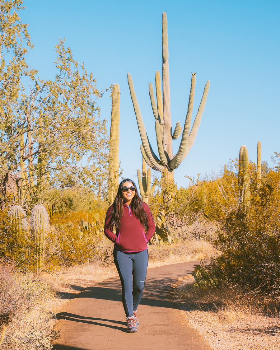
The Desert Discovery Nature Trail is the most inclusive of all Saguaro hiking trails. It’s paved, kid-friendly, and wheelchair accessible. It’s also about a mile from the Red Hills Visitor Center, where you can get maps and book ranger-guided walks.
This is considered one of the easiest hikes in Saguaro National Park. It only takes about eight minutes to complete and has a minimal elevation gain. Walking the Desert Discovery Nature Trail is a great way to learn about the ecology of the area. It has interpretive signs along the path, giving information about the park’s flora and fauna.
Since this is such a short hike, I’d recommend adding it as a stop on your Arizona road trip itinerary. It’s one of the best hikes in Saguaro National Park, as it gives you a glimpse of what the rest of the park has to offer.
Signal Hill Trail
- Elevation Gain: 26 feet
- Mileage: 0.3 miles (out-and-back)
- Difficulty: Easy
- Trail Guide: Link
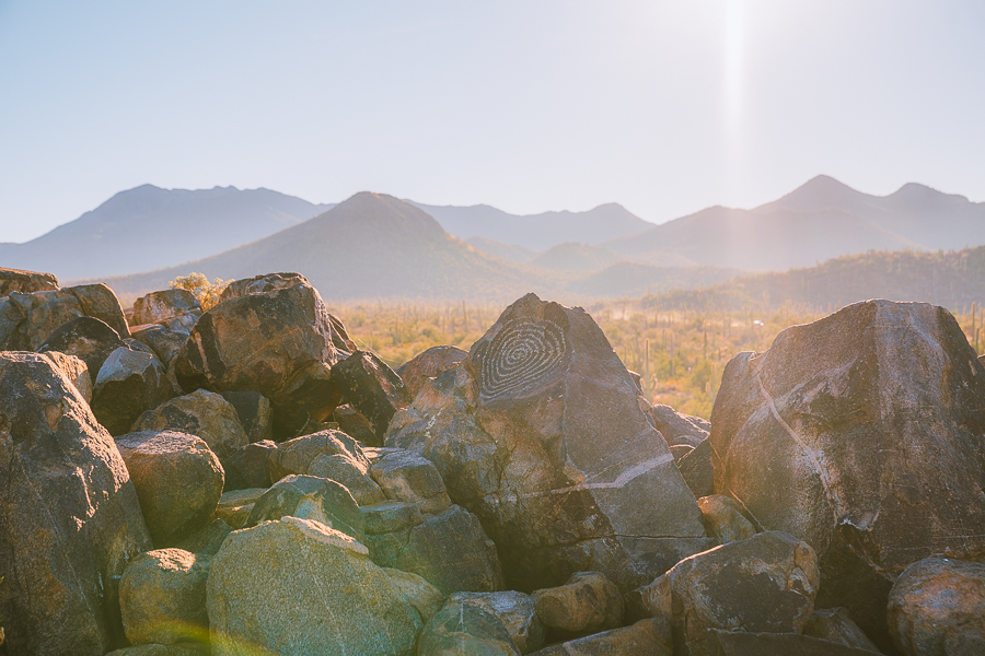
Signal Hill is one of the best trails in Saguaro National Park West. The hike is short, scenic, and has a unique element to it. In addition to the panoramic views you’ll get from atop Signal Hill, you’ll also stumble upon a boulder field of ancient petroglyphs.
Trekking to Signal Hill is also one of the easiest hikes in Saguaro National Park. It only takes about seven minutes to complete from the parking lot. The trailhead is accessible from the Signal Hill Picnic Area, where there are tables, benches, and BBQ stands.
You’ll also find a stunning collection of rock art (Hohokam petroglyphs) at the Signal Hill Picnic Area. The petroglyphs date back to the 13th and 14th centuries and are believed to have been left here during hunting expeditions. This unique feature makes this trail one of the most sought-after and best hikes in Saguaro National Park.
Valley View Overlook Trail
- Elevation Gain: 49 feet
- Mileage: 0.8 miles (out-and-back)
- Difficulty: Easy
- Trail Guide: Link
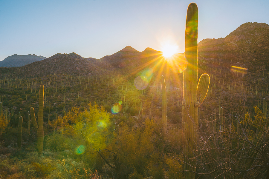
The Valley View Overlook Trail is one of the best hikes in Saguaro National Park’s Tucson Mountain District. It’s short, relatively flat, and ends with amazing views overlooking a valley of saguaros. You’ll also find a nice bench to sit on at the end to take in the incredible Sonoran Desert views.
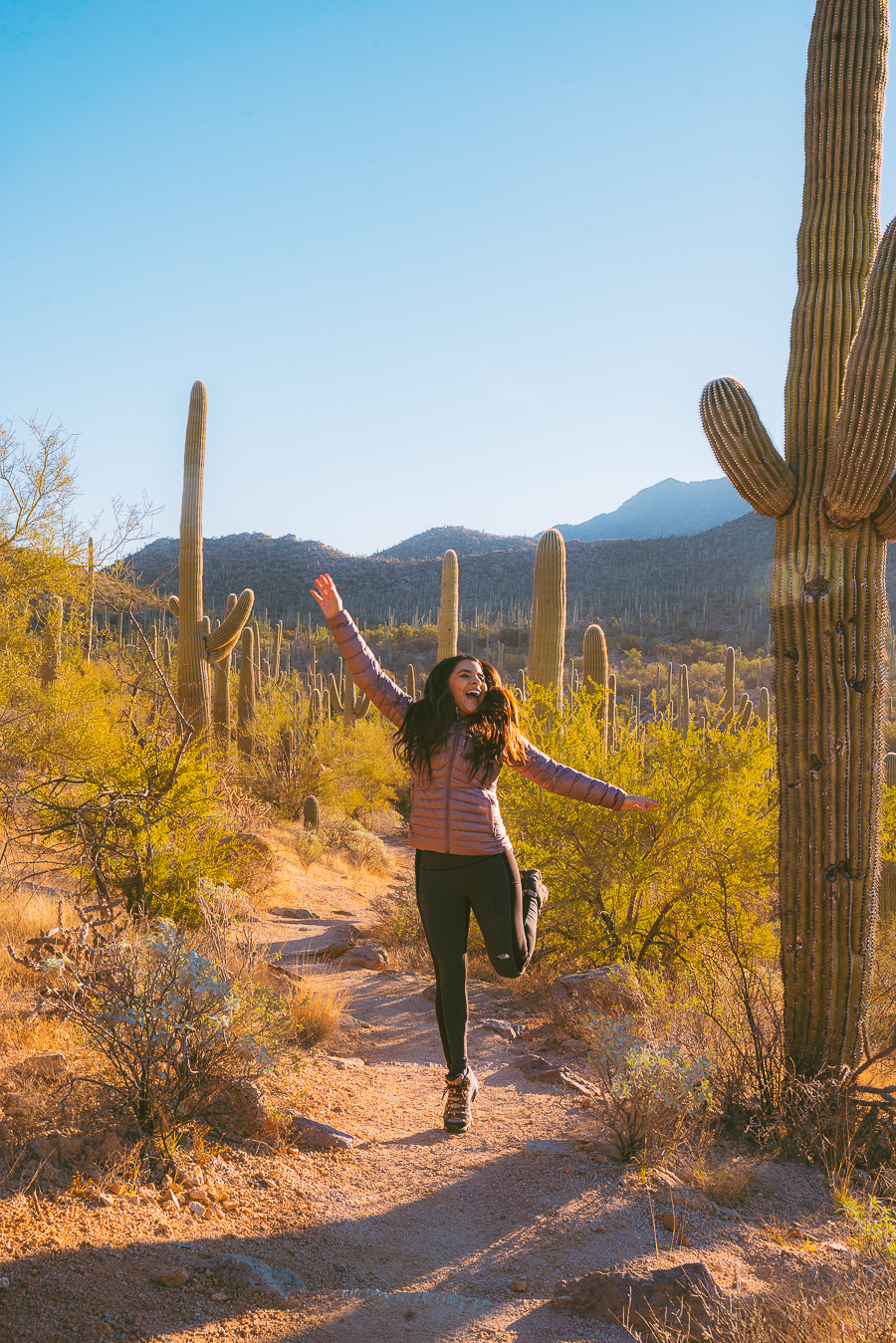
The Valley View Trail is an easy hike along a well-maintained route that is dotted with giant saguaros. You’ll also find interpretive signs along the way pointing out other native plants, like Engelmann’s prickly pear and ocotillo, which also call this desert landscape home.
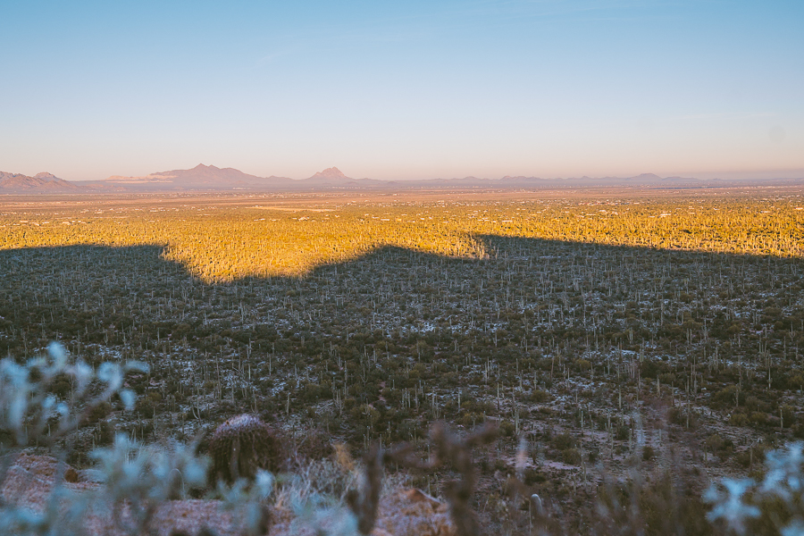
It’ll take you about 20 minutes to complete the hike to Valley View. The trek starts with several washes before gradually ascending up a ridge. At the end of the trail, you’ll find a lone bench where you can sit and take in incredible views of Picacho Peak and Avra Valley.
Garwood Trail
- Elevation Gain: 203 feet
- Mileage: 3.3 miles (out-and-back)
- Difficulty: Easy
- Trail Guide: Link
The Garwood Trail is great if you’re after hiking in solitude without having to go too far out. Its location in the less-visited Rincon Mountain Districts makes it an ideal getaway from a packed Saguaro National Park.
Similar to all the best hikes in the park, this trail takes you through an exquisite saguaro forest and incredible wildlife. It even has old relics from the area’s ranching past. The Garwood Trail is one of the park’s easy-to-moderate hikes; it’ll take about an hour to complete.
To get started, you need to head over to the Douglas Spring Trailhead at the end of Speedway Boulevard. Follow the Douglas Spring Trail for about 0.2 miles until it intersects with the Garwood Trail. Pass the picnic area and behold a stunning forest of saguaros. This trail is also great for bird sightings, so keep your eyes peeled and cameras ready.
Bridal Wreath Falls Trail
- Elevation Gain: 1,096 feet
- Mileage: 5.7 miles (out-and-back)
- Difficulty: Moderate
- Trail Guide: Link
This hike is one of the must-do activities in the Rincon Mountain District, the east side of the park. The Bridal Wreath Falls Trail takes you through a lush desert landscape with city views. And it ends with a relatively small yet refreshing waterfall that I think is absolutely worth a visit.
The route is considered moderately challenging and will take you about two hours and forty-seven minutes to complete. While the first half a mile is quite flat, the route soon descends into steep yet manageable mountains. You’ll then trek uphill for the next mile and a half, passing a lush field of barrel cactus, creosote bushes, and mesquite trees.
You’ll get to Bridal Wreath Falls by staying on the Douglas Spring Trail for 2.5 miles, where you’ll find the trailhead to the actual falls. At the three-way intersection between Douglas Spring, Ernie’s Falls, and Bridal Wreath Falls, you take the latter trail and walk for a further quarter of a mile to the falls.
Grab Your Free Car Camping Checklist! 🚗🌲
Ready to elevate your car camping game? Snag our essential checklist to ensure you’ve got everything you need for a stress-free, fun-filled adventure! Perfect for beginners and seasoned campers alike. Download now and hit the road prepared! 🌟🎒
Petroglyphs at King Canyon
- Elevation Gain: 292 feet
- Mileage: 2.2 miles (out-and-back)
- Difficulty: Moderate
- Trail Guide: Link
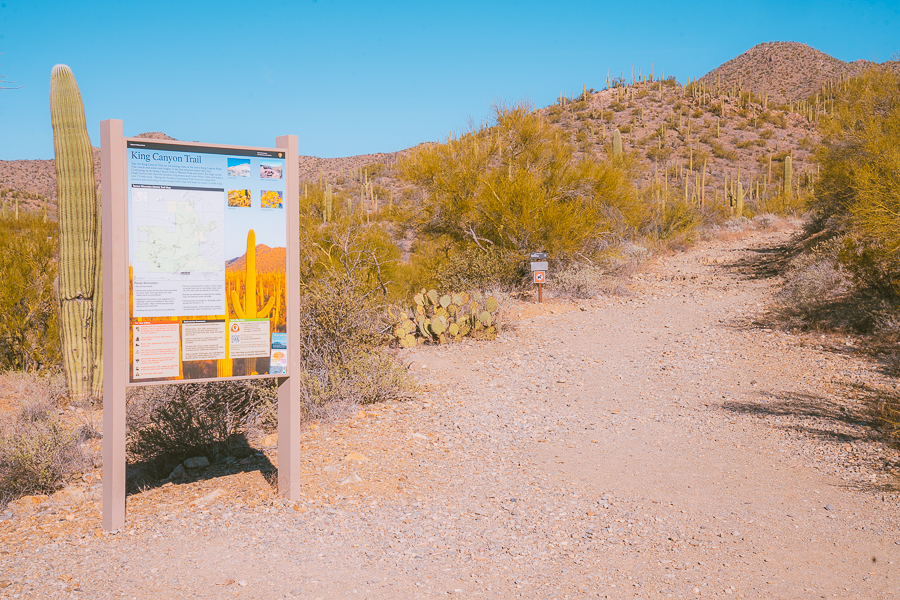
The Petroglyphs at King Canyon are among the best attractions in the Tucson Mountain District. A hike along the King Canyon Trail not only takes you through a pristine desert landscape but also transports you back into history.
This one-hour out-and-back trail is considered moderately challenging as it starts off relaxed, traveling through a scenic wash. The trail then passes through several spillovers that you’ll have to either hike around or scramble up.
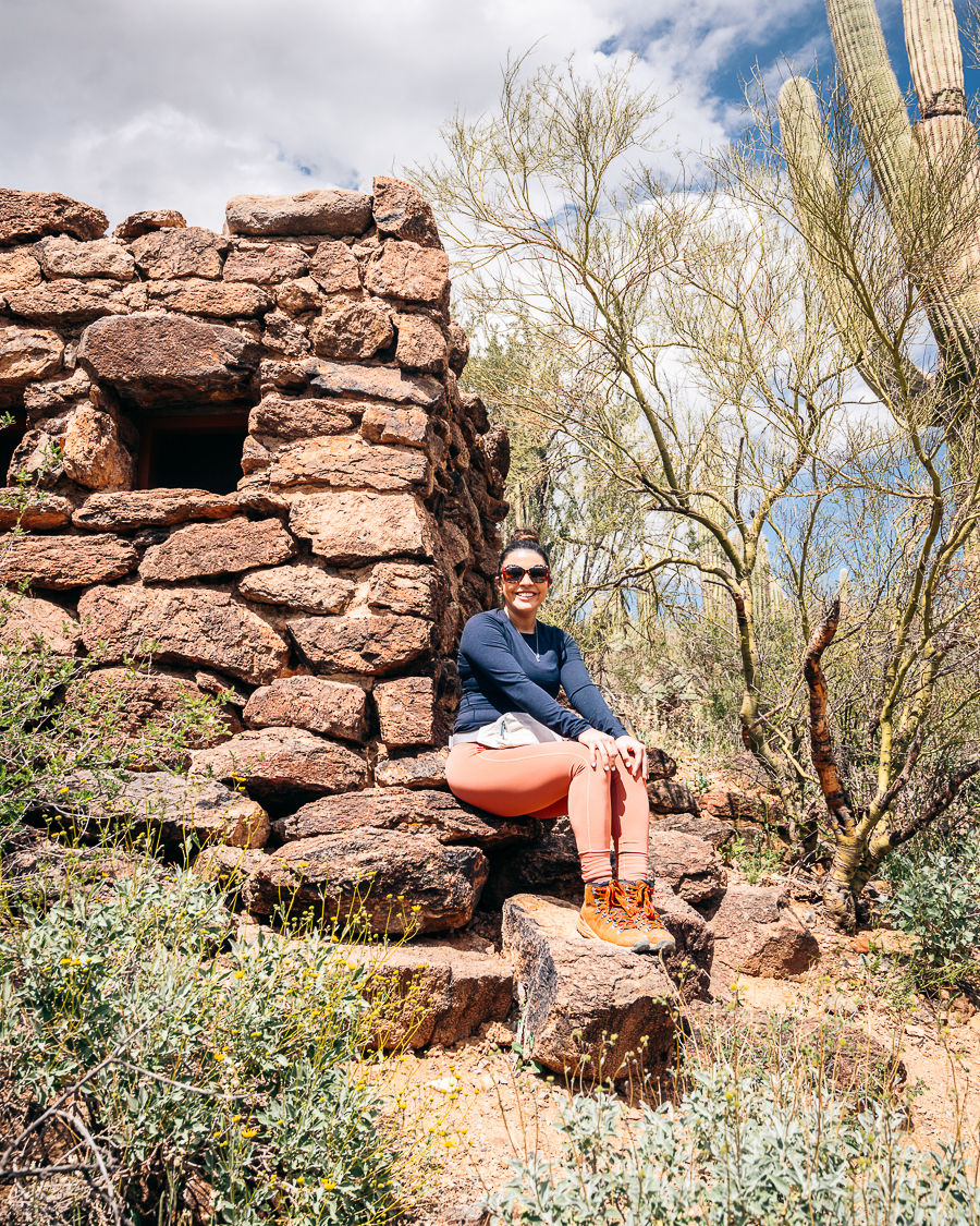
Keep your eyes peeled for Hohokam and O’odham petroglyphs that are etched into many of the cliff boulders along the King Canyon Trail. You’ll find many of these cravings about 0.75 miles from where you started, at the King Canyon Trailhead.
To get there, head down Kinney Road, where you’ll find the King Canyon Trailhead, sitting right across from the Arizona Sonora Desert Museum. After about a mile hike through the wash, you’ll first come up on the Mam-A-Gah Picnic Area, where you can take a breather before carrying on to see the fascinating rock art.
Gould Mine
- Elevation Gain: 384 feet
- Mileage: 2.4 miles (loop)
- Difficulty: Moderate
- Trail Guide: Link
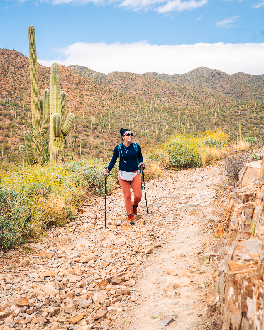
The Gould Mine Trail is another great hike in the Tucson Mountain District that ends with an added attraction. This hike takes you on a short path up a scenic ravine past flourishing desert wildflowers. You can combine this trail with parts of the Sendero Esperanza and King Canyon Trails to make a longer loop hike.
This short but moderately challenging route almost immediately drops into a wash for a short distance before it gently climbs up a ravine to a long-disused copper mine. You’ll spot relics like scattered wood and ironwork pieces and a stone cabin.
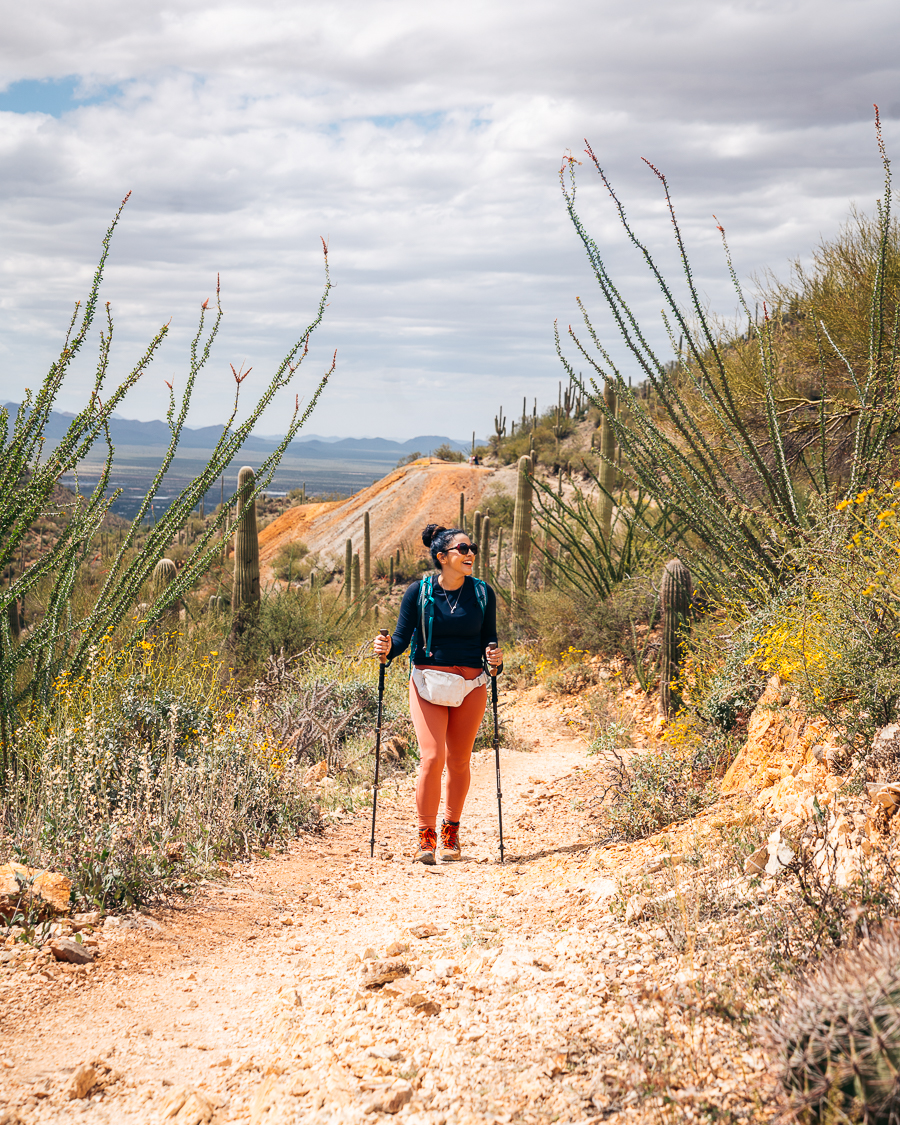
The more than 300 feet of elevation gain adds a bonus as it gives you great views of Avra Valley and higher parts of the Tucson Mountains in the northeast.
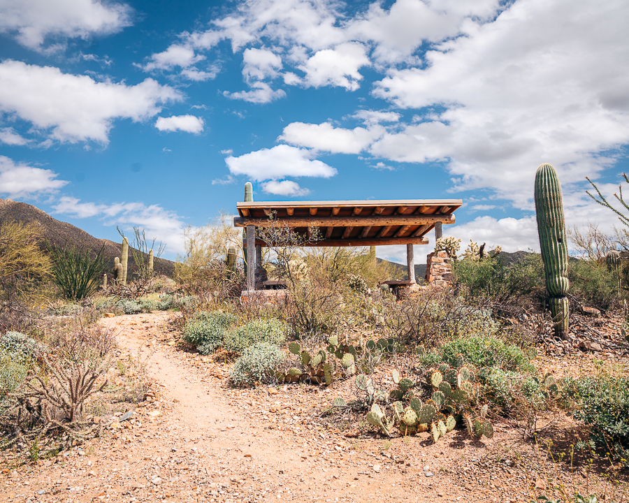
You can get to the Gould Mine Trail at the King Canyon Trailhead parking lot on Kinney Road. From here, you can choose to hike clockwise or counterclockwise. But, you may find that clockwise is easier. Along the way, you’ll pass the Mam-A-Gah Picnic Area on a small hill, making it a great place to take in the scenery before heading to the mine.
Tanque Verde Ridge Trail
- Elevation Gain: 925 feet
- Mileage: 3.3 miles (out-and-back)
- Difficulty: Moderate
- Trail Guide: Link
The Tanque Verde Peak is a popular attraction in Saguaro National Park’s Rincon Mountain District. It’s part of a lengthy ridgeline that begins east of Tucson City at an elevation of over 3,000 feet. The Tanque Verde Ridge continues to rise to over 8,000 feet at the top of Mica Mountain Peak — the park’s highest summit.
Download my free Outdoor Photography Guide
Hiking the moderately challenging Tanque Verde Ridge Trails rewards you with stunning views of the Tucson Basin. You can access the trailhead from the Javelina Picnic Area, which is about 1.4 miles from the Rincon Mountain District Visitor Center.
From here, follow the narrow, rocky, and steep Tanque Verde Ridge Trail toward the summit. Take note as you gain elevation that the thick cactus forest quickly turns into a grassy, rocky, and pine-filled woodland. You may choose to turn back at the 1.5-mile mark. But, if you’d like to get a closer look at Tanque Verde Peak, continue along the Tanque Verde Ridge Trail.
Hugh Norris Trail
- Elevation Gain: 2,398 feet
- Mileage: 8.9 miles (out-and-back)
- Difficulty: Moderate to Hard
- Trail Guide: Link
The Hugh Norris Trail is another one of the best hikes in Saguaro National Park that will reward you with pristine views. This is the longest trail in the Tucson Mountain District and the most popular way to hike to Wasson Peak – the highest point in Saguaro National Park West.
You’ll start the hike by walking through a forest of saguaros and chollas before steadily climbing up a series of switchbacks. As you ascend, you’ll pass rockier terrain with granite boulders as you near the summit.
This hike is considered moderate to strenuous, and it’ll take you just over five hours to complete the out-and-back trail. You’ll get an elevation gain of well over 2,000 feet, giving you panoramic views of the Sonoran Desert.
Best Sunset Spot In Saguaro National Park
Best Hikes in Saguaro National Park | FAQs
Here are a few frequently asked questions about Saguaro National Park trails to make sure you’re well-prepared for the epic adventure.
Where Is the Best Sunset Spot in Saguaro National Park?
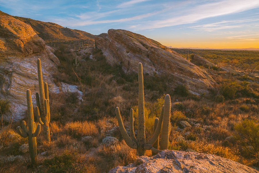
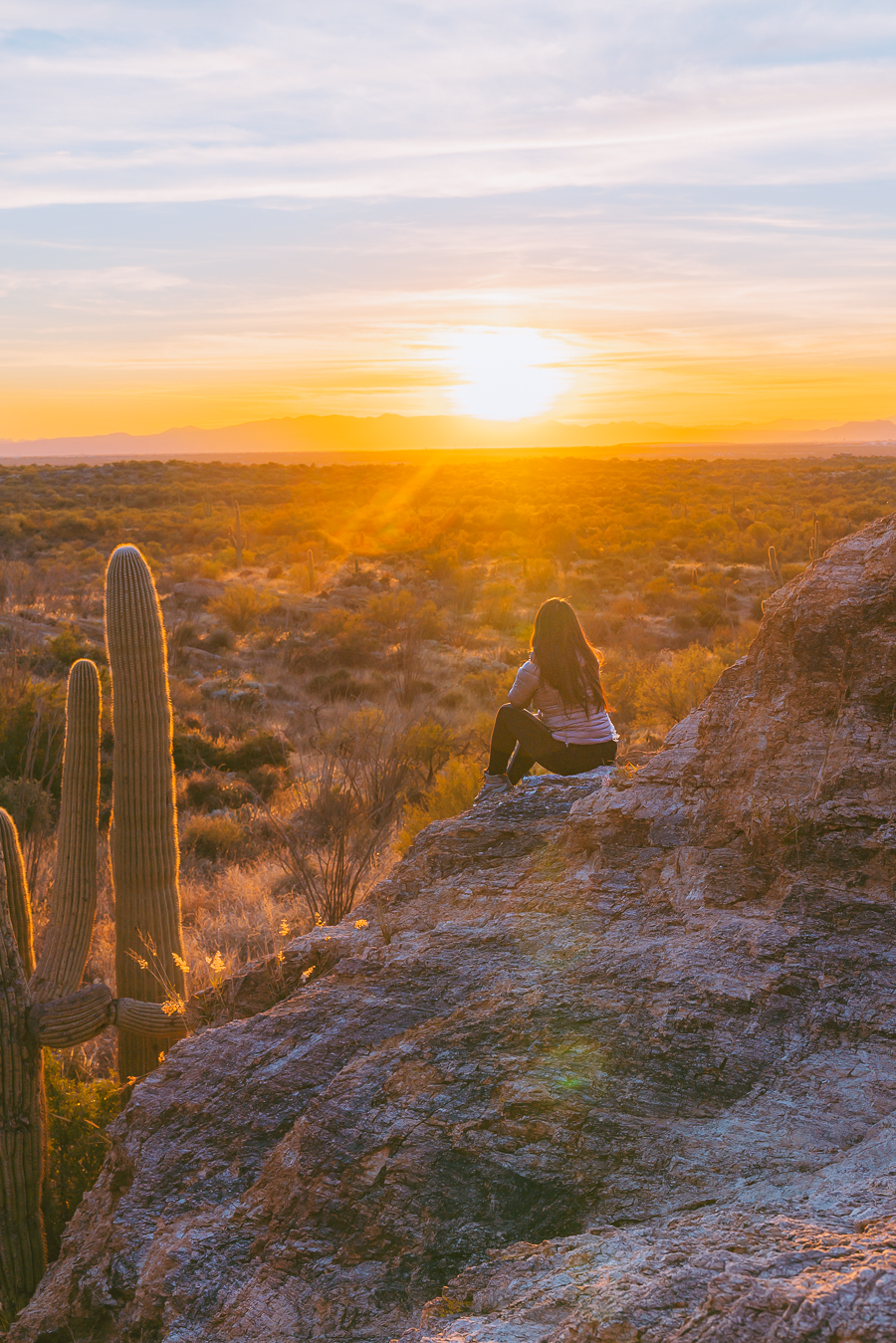
There are a few places you can catch a sunset on both sides of Saguaro National Park. In the Rincon Mountain District, you’ll find incredible sunsets along the Tanque Verde Ridge Trail and at the Javelina Rocks pull-out on the Cactus Forest Drive.
I liked the Javelina Rocks outlook as it’s one of the most scenic spots to watch a sunset in the park. For spectacular views, make sure you get there 30 minutes before sunset to get a vantage point on top of the boulders.
The Cactus Forest Drive closes at 8 pm, so you’ll have enough time to enjoy the sunset and drive out without being in a rush. If you’d like a small detour, drive over to the Javelina Picnic Area, where you’ll find benches, grills, and restrooms.
How Many Days Do You Need At Saguaro National Park?
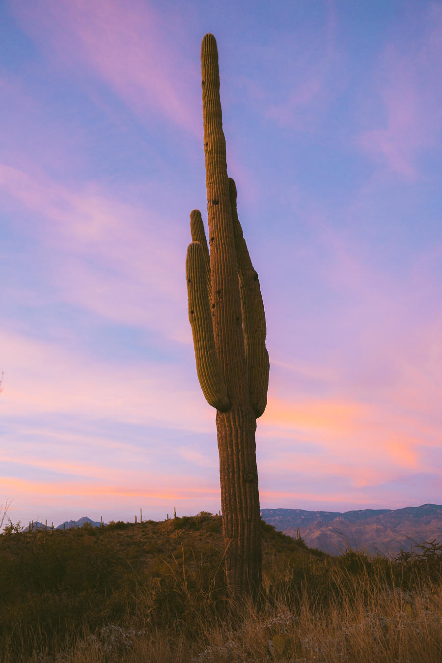
Saguaro National Park is divided into two parts – the Rincon Mountain District in the east and the Tucson Mountain District in the west, so you’ll need at least two days in the park.
I’d recommend adding an extra day so that you don’t rush through the best hikes and other attractions. You can also take some time to explore Tucson, which is likely where your accommodation will be.

Note: An entrance pass at Saguaro National Park is valid for seven days. This gives you access to both the Tucson Mountain District (West) and the Rincon Mountain District (East). So you can extend your stay to make sure you cover all the best hikes in the national park.
The Difference Between Saguaro National Park West and East
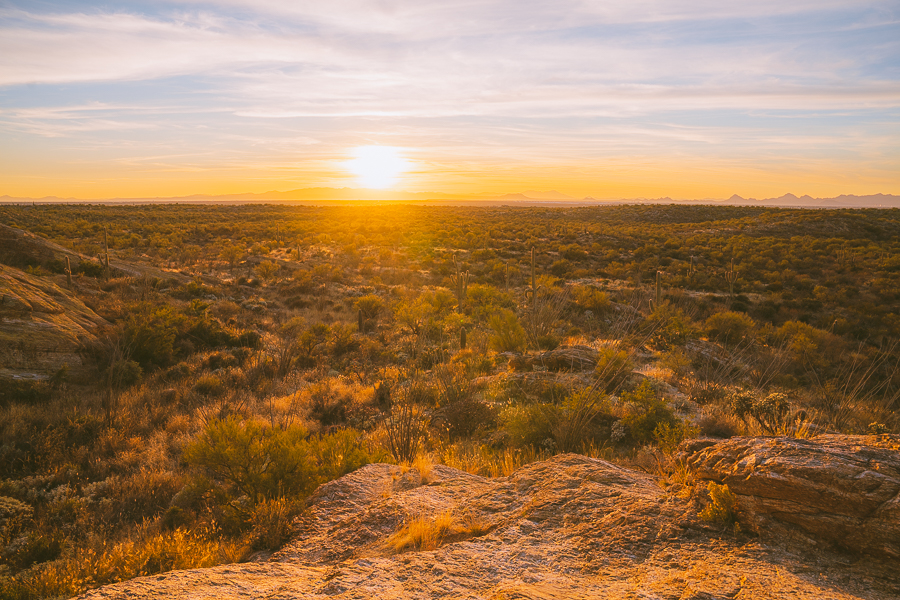
The biggest difference between the two districts of Saguaro National Park is the size and density of the saguaro cacti. But both sides have pros and cons, so deciding which side to go to depends on what you’re looking for.
Saguaro National Park West
The Tucson Mountain District (a.k.a Saguaro National Park West) is spread across 25,391 acres and has 43 miles of established hiking trails. Although it’s smaller, the west district is the most popular side of Saguaro National Park because it’s more secluded and has a higher density of vegetation and saguaro cacti.
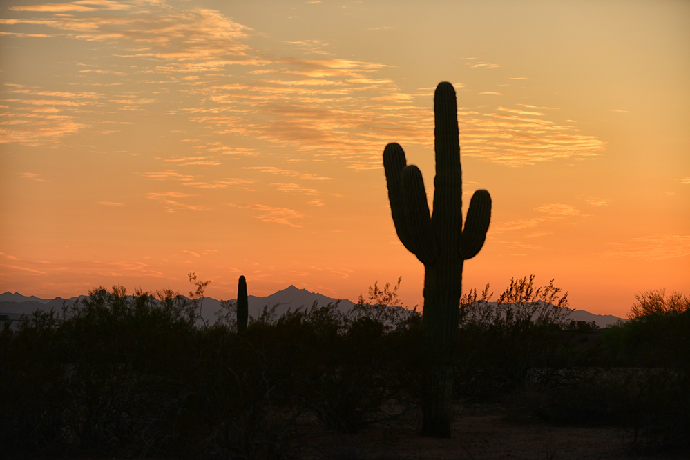
The west is the most visited side of Saguaro National Park, so if you’re hoping to avoid large crowds, this may not be the side to visit. It also has no camping facilities, but it makes up for that with its five picnic areas. Saguaro National Park trails in the west are all dirt roads, so keep that in mind when making your decision.
Saguaro National Park East
The Rincon Mountain District (a.k.a Saguaro National Park East) covers 67,476 acres of desert land and offers a whopping 128 miles of hiking trails. Its expansive landscape gives you more opportunities for longer and quieter hikes with fewer tourists.
The east is a lot more mountainous, so you’re more likely to get sweeping views of Saguaro National Park from this side. It’s also home to the park’s highest peak, Mica Mountain, standing at 8,666 feet.
Which Is Better: Saguaro National Park East or West?
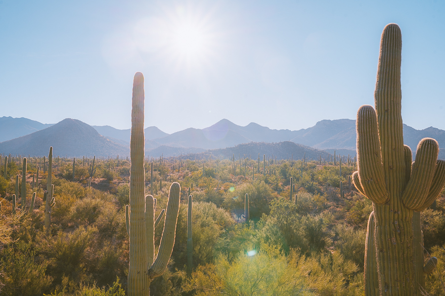
When visiting Saguaro National Park, deciding on which side to visit first can be quite challenging. But knowing what you get on the different side makes that decision a little easier.
Those looking for excellent hiking, camping, or backpacking opportunities should be looking to the Rincon Mountains District. But for the best hikes in Saguaro National Park that won’t take much time, visiting the Tucson Mountains District would be better.
If your number one priority is to see the sprawling cactus forest, then visiting the west side is your best bet. But you can still experience great views in the east district. For example, the Cactus Forest Loop is a scenic drive in the east district that has some of the best views in the entire park.
How Far Is Saguaro National Park East From West?
The distance between the east and west districts of Saguaro National Park is about 30 miles (45-60 minutes) from the park’s entrances. From the Rincon Mountain District Visitor Center in the east to the Red Hills Center in the west, the distance increases to about 35 miles.
Best Hikes in Saguaro National Park | Wrapped Up
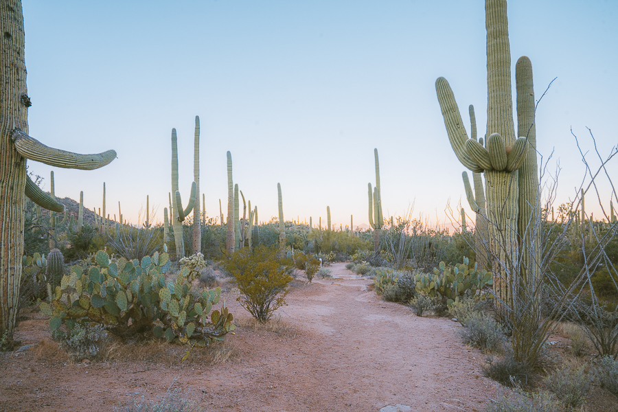
There you have it! These are some of the best hikes in Arizona, with picturesque views of the Sonoran Desert and the saguaro cacti.
From the scenic Cactus Forest Trail to the stunning Valley View Overlook, this national park has something for everyone. Whether you choose to visit Saguaro National Park’s east or west side, you can be sure to have an epic experience.
Thanks for reading all about Saguaro National Park! Below are some other Arizona posts to help you start planning for other trips.

