Best Day Hikes in the Grand Canyon | 17 Amazing Hiking Trails
Dominated by rugged red rocks and lush desert shrubs, the Grand Canyon is, without a doubt, a must-add destination to any bucket list. Tucked into the heart of Grand Canyon National Park, this geological wonder offers a treasure trove of captivating day hikes that cater to hikers of all skill levels.
The best day hikes in the Grand Canyon offer sweeping viewpoints from the top and the bottom of the rims. There are various shuttle stops that will bring you closer to your destination, so no need to worry about time.
Day hiking is one of the best things to do in the Grand Canyon. However, there are certain things to know before taking on these hikes. Matters like weather and road conditions may affect accessibility. Let’s unpack some of these things to note below.
Disclosure: This post contains affiliate links. If you click one of them, I may receive a small commission (for which I am very grateful for) at no extra cost to you.
Grand Canyon National park
Related Posts
Best Time to Go to the Grand Canyon
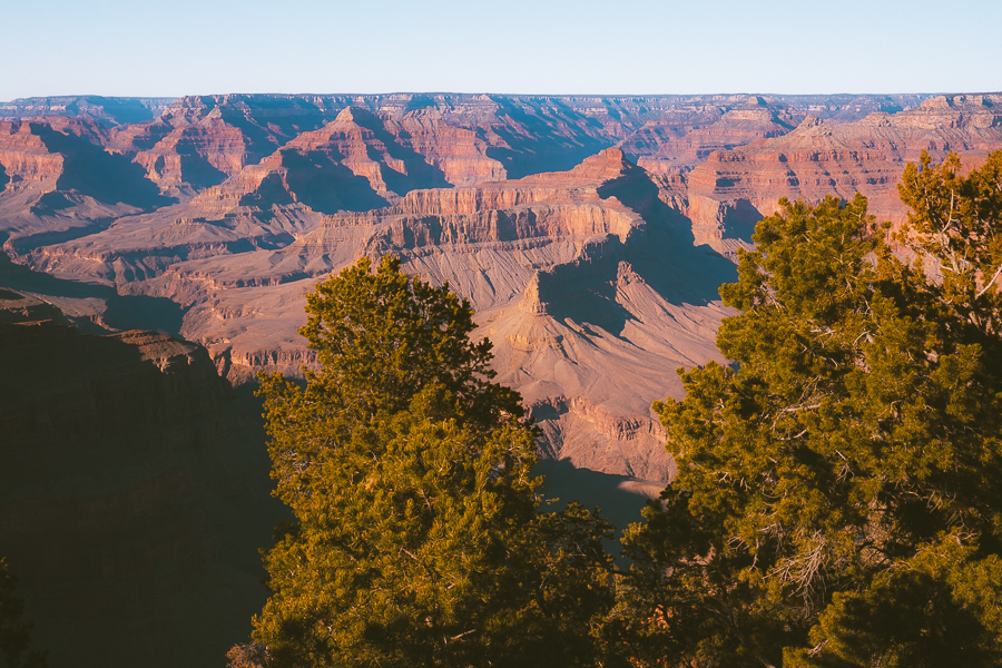
If you’re keen on uninterrupted Grand Canyon hiking, the best time to go would be between March and May (spring) and September to November (fall). During these off-peak seasons, the temperatures are cooler, and the crowds are thinner than in the summer months.
Read More: Best Time to Visit Grand Canyon National Park
Tours Of The Grand Canyon
How to Get to the Grand Canyon
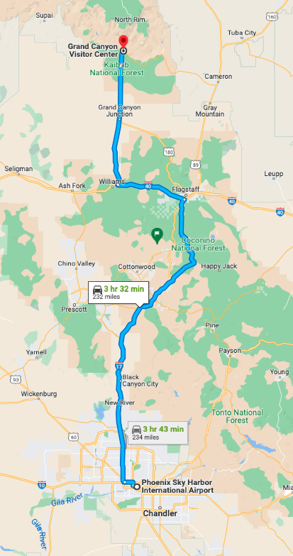
The best way to get to the Grand Canyon is by flying into a nearby airport and renting a car to get to the park. If you’re arriving in the South Rim, the closest airports you can fly into include Flagstaff Pulliam Airport and the smaller Grand Canyon National Park Airport.
If you arrive at the North Rim, you can either fly into St. George Regional Airport or the Page Municipal Airport.
A larger airport you can fly into is the Phoenix Sky Harbor International Airport. It is around 3 1/2 hours away and 232 miles.
How Much Time Is Needed in the Grand Canyon
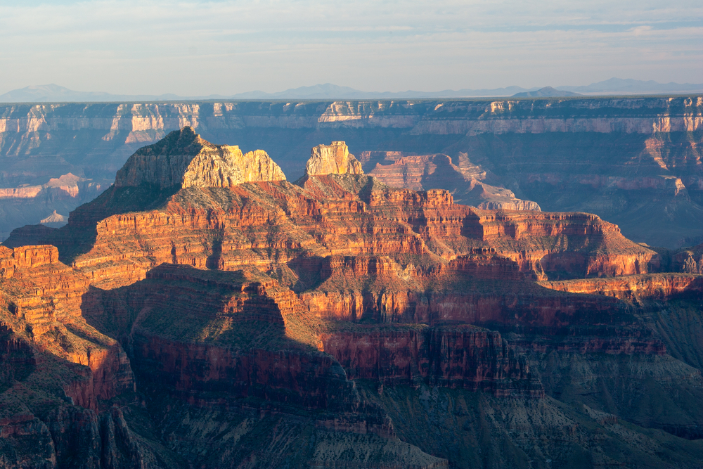
One to two full days is enough time to explore the Grand Canyon. You can easily do most of the best hikes in Grand Canyon South Rim on the first day. And dedicate the second day to exploring the North and West Rim.
Map Of Best Day Hikes in the Grand Canyon
Things to Know Before You Go
Hiking trails in the Grand Canyon come with various challenges. Some hikes require permits for access, while others could need adequate planning for “reverse hiking.” Here are a few things to keep in mind.
Backcountry Permits
Getting backcountry permits for the Grand Canyon is essential if you’re planning to venture into the canyon’s less-traveled areas. You’ll also need these permits for overnight stays at campsites. To get a permit, you need to apply through the Grand Canyon National Park’s official website.
Hiking Downhill vs. Uphill
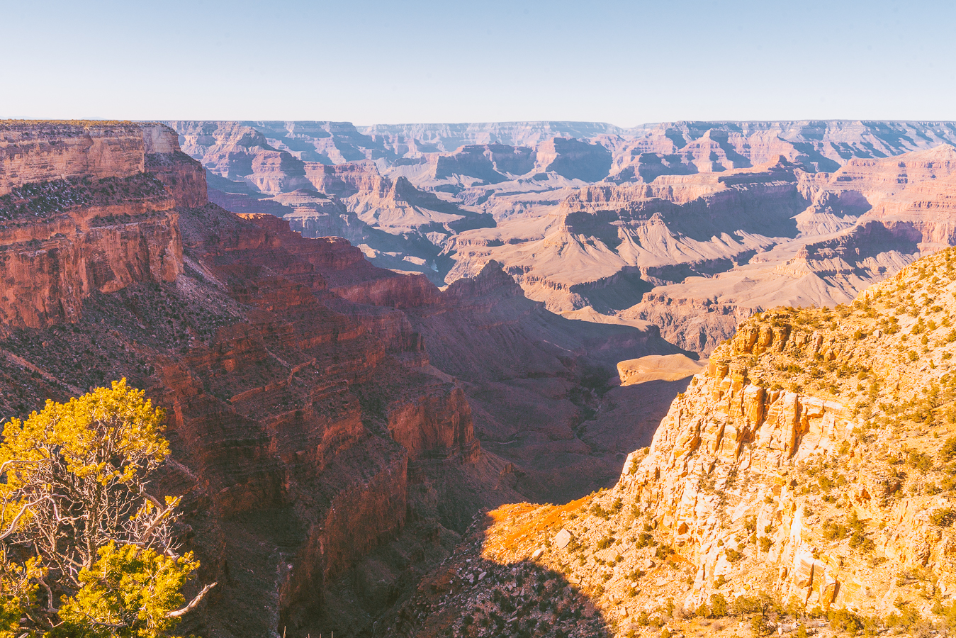
Hiking downhill in the Grand Canyon is often considered easier than going uphill. Trekking uphill is the most strenuous part of the hike as it requires more effort and fitness.
Reverse hiking involves starting your hike by descending into the canyon and then returning uphill. This has several benefits, like a cooler start, avoiding peak temperatures going up, and proper water management, as most refill spots sit at the bottom of the canyon.
What To Pack For Hiking The Grand Canyon
- Sunscreen: This is a no brainer. There are areas on the trail where there is no shade. Slather some on right before the trek. >Buy Sunscreen
- Hiking Boots/Shoes: If you use tennis shoes you can easily hurt your toes hitting a rock by accident (Trust me I have done it so many times before). >Check Out My Hiking Shoes
- Hiking socks: Having the correct socks helps you prevent getting blisters. Smart Wool is probably my favorite brand out there. I also love how they now have pink socks too 🙂 >Buy Hiking Socks
- Refillable water bottle: I always bring a Hydroflask on all my adventures. They are on the heavier side but I know for a fact they will not break. I have had a few cheap water bottles break on me before. There is no room for error at the Grand Canyon. >Check Prices Now
- Lots of water: The Grand Canyon is HOT. Bring a ton of water!
- Sunglasses: Like I said it can get pretty sunny.>Check Out These Sunglasses
- Snacks: The best snacks are jerky, nuts, energy bars. Cliff Bars are great for hiking.
- Trekking Poles: This is an optional product, but they really help with the knees. The poles I have listed are known to be one of the best in the market. >Buy The Trekking Poles Here
- Camera: I have linked the camera I used to take pictures of the Grand Canyon. The Sony A6000 is a great camera for people that want to start improving at travel photography. >Buy Sony Camera Here
- First Aid Kit: This is one of the first things I bought when I first started backpacking and camping. It is super portable. >Buy This Awesome First Aid Kit Here
- Day Pack: The REI bag I have linked, we have had for seven years now, and it is still going strong! >Buy This Great Quality Backpack
- Good hiking pants: These are probably the best hiking pants that I have found. They keep you dry in the crazy weather and they are durable. >Buy my hiking pants here
- Breathable sweat-wicking shirts: >Check This One Out
- Sports Bra: For women. >Buy One Here
- Jacket: Only in the winter >Buy My Favorite Jacket
- Base Layers: This is only needed in the winter. If you get chilly like me this is necessary! I have been using Smartwool for years now and they are my go-to base layers. >Buy the bottoms here, >Buy the top here
- National Park Pass: I highly recommend getting a year-long America The Beautiful Pass. >Get It Here
- Map: I love the National Geographic Maps! They are the best! >Buy One Here
Claim your FREE Hiking Checklist
Ready to start hiking? Grab my free hiking checklist and never forget anything at home!
Where to Stay in the Grand Canyon
To ensure you sleep well in between your adventures, here are some of the best places to stay in the Grand Canyon.
Budget: Camping
The Grand Canyon boasts several campsites within the park. Among the three in the South Rim, Mather Campground is the most popular. It is the largest and closest to Grand Canyon Village, giving you access to crucial amenities and places to eat. >>>Check Prices and Availability
Mid-Range: Red Canyon Cabins
These cabins in Kanab offer mod-cons like free Wi-Fi and spacious rooms with well-equipped kitchens. You’ll have access to a flat-screen TV, coffee machine, and a quaint garden with a barbecue and mountain views. >>>Check Prices and Availability
Luxury: Little America Hotel
This Flagstaff hotel offers impressive rooms adorned with Native American decor. You’ll have access to a gym, an outdoor pool, and the Little America Restaurant and Bar, which serves breakfast, lunch, and dinner daily. >>>Check Prices and Availability
Read More: Where To Stay at the Grand Canyon | 22 Best Hotels, Cabins & Campgrounds
Best Easy Hikes in Grand Canyon
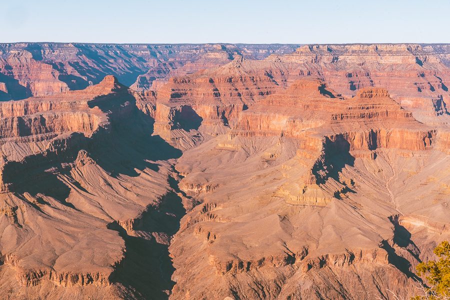
Grand Canyon National Park is one of the best places to get some exercise. You’ll have the option to leisurely stroll through this natural wonder without over-exerting your body.
Have a look at some of the best easy hikes you can take to explore the Grand Canyon.
1. Yavapai Point via Rim Trail
- Elevation Gain: 82 feet
- Mileage: 1.68 miles out-and-back
- Trail Guide: Link
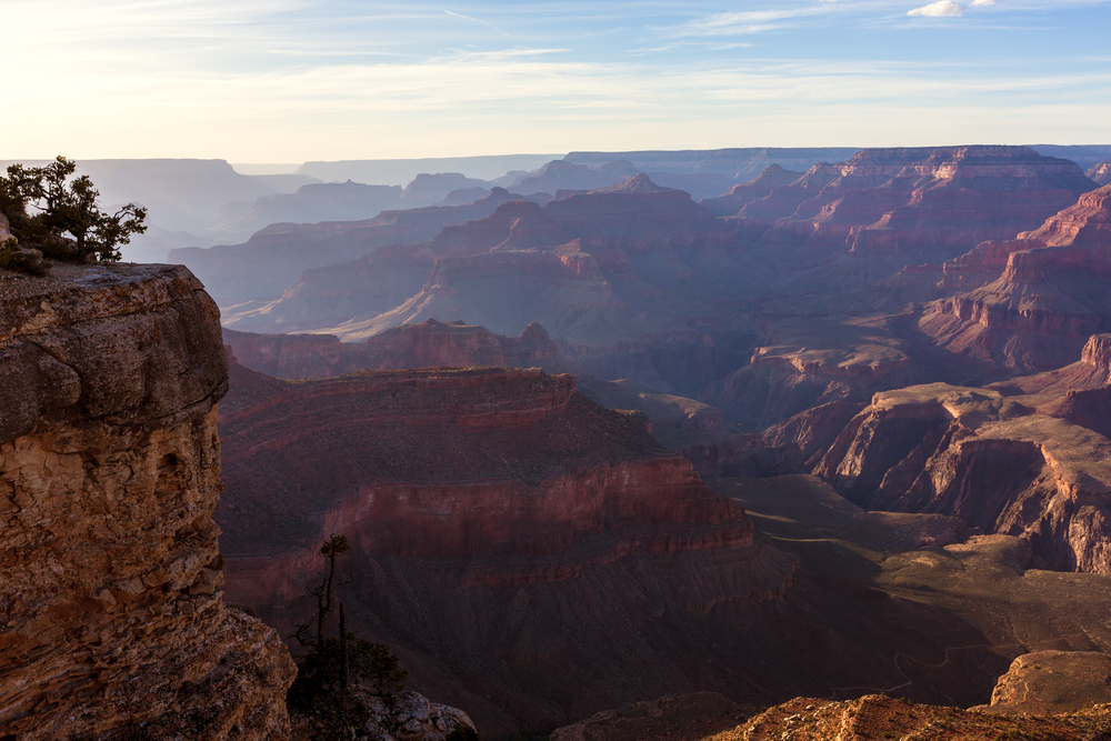
Generally considered more of a scenic walk than a hike, trekking to Yavapai Point via the Rim Trail is one of the best ways to warm up to what the Grand Canyon has in store for you. The trail conveniently starts at the Grand Canyon Village, and you won’t need to take the shuttle, as it only takes about 40 minutes to complete on foot, depending on your speed.
Just because this hike is short and easy doesn’t mean it falls short of mind-blowing scenery. Along the Rim Trail, you’ll spot sweeping viewpoints on the Grand Canyon’s South Rim. You’ll find the Yavapai Geology Museum at the edge of the canyon rim, where you can craft artworks, exhibits, and topographic maps of the Grand Canyon.
2. Shoshone Point
- Elevation Gain: 154 feet
- Mileage: 2.11 miles out-and-back
- Trail Guide: Link
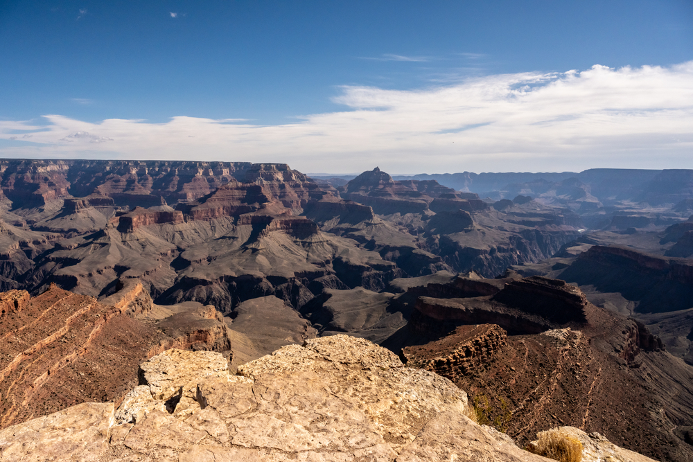
Located on Desert View Drive, the Shoshone Point Trailhead takes you through a lush ponderosa pine forest, a picnic spot, and ends with a mushroom rock formation at the overlook. This hike takes about an hour to complete. It’s considered an easy trek, so you can enjoy this lovely hike with your kids and perhaps end it off with a tasty lunch at the picnic area.
The views at Shoshone Point give you scenes of the eastern Grand Canyon. On a clear day, you may also spot the Desert View Watchtower, Horseshoe Mesa, and the Hance Rapids. Thrill seekers may press on to the very edge of Shoshone Point, but exercise caution as there are loose rocks on the ledge. We wouldn’t recommend that kids go to the edge.
3. Mather Point via Visitor Center
- Elevation Gain: 13 feet
- Mileage: 0.62 miles out-and-back
- Trail Guide: Link
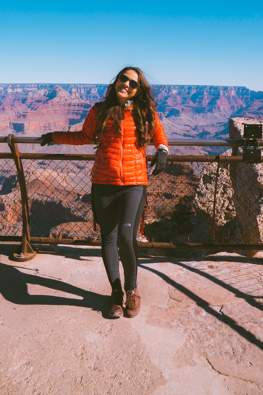
Mather Point is among the best overlooks of the Grand Canyon, and for a good reason. Its proximity to the Grand Canyon Visitor Center makes it one of the first hikes tourists arriving through the south entrance take on. Mather Point offers expansive views of the entire region.
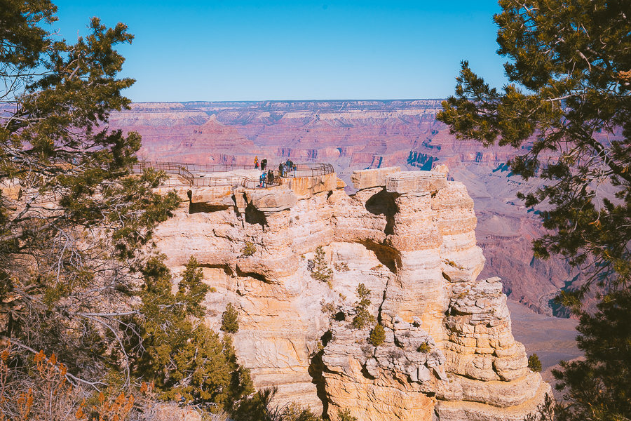
On a clear day, you can see over 30 miles to the east and more than 60 miles to the west. Some notable landmarks from Mather Point include the Colorado River snaking through the canyon below, Phantom Ranch, and the colorful Kaibab Limestones.
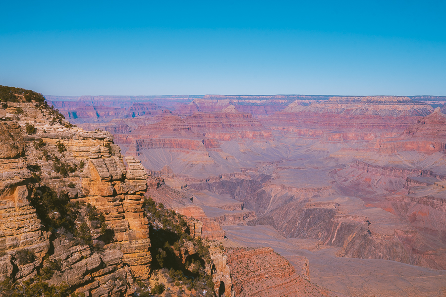
4. Yavapai Geology Museum to Verkamp’s Visitor Center
- Elevation Gain: 39 feet
- Mileage: 1.49 miles point-to-point
- Trail Guide: Link
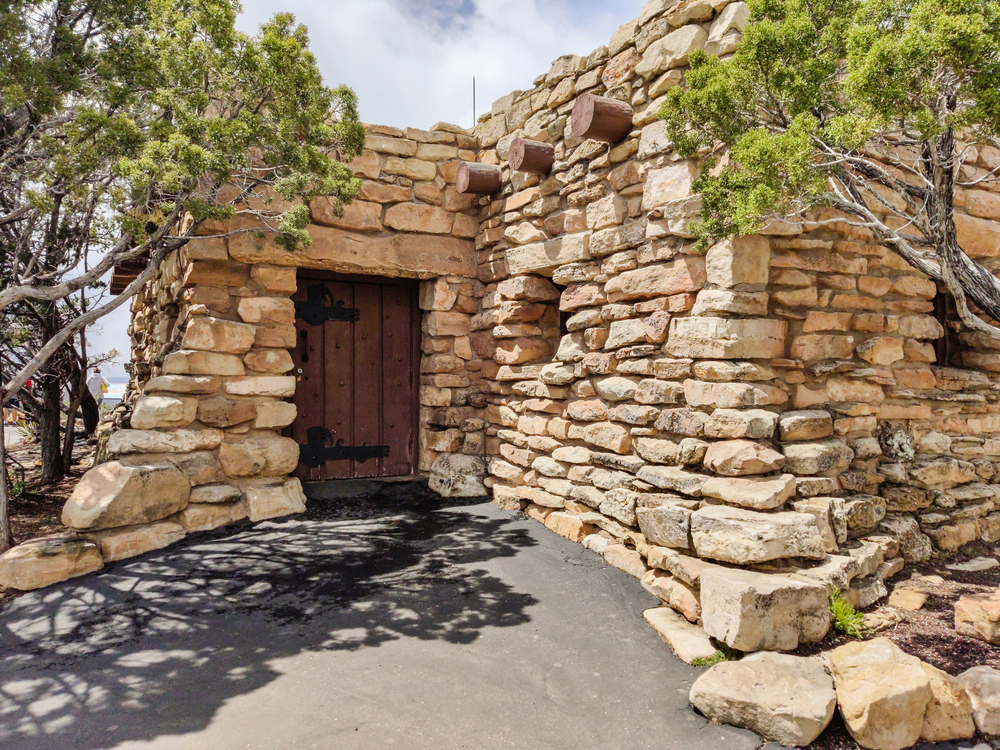
One of the lesser-known Grand Canyon trails along the South Rim runs between Yavapai Geology Museum and Verkamp’s Visitor Center. This hiking trail is paved and relatively flat throughout, making it ideal for a leisurely stroll while taking in the beautiful South Rim views.
You’ll go from fascinating interactive displays at the museum and striking viewpoints along the Rim Trail, like Grandeur Point, to the heart of the native Grand Canyon Community. Verkamp’s Visitor Center sits in the Village Historic District, making it the perfect place to go to learn about what it was like to live and work there on the edge of a UNESCO Heritage Site.
A great way you can wrap up this Grand Canyon hike is by heading over to Hopi House, a historic dwelling full of century-old American Indian relics and lots of things to sell.
5. Cape Royal Trail
- Elevation Gain: 66 feet
- Mileage: 1 mile out-and-back
- Trail Guide: Link
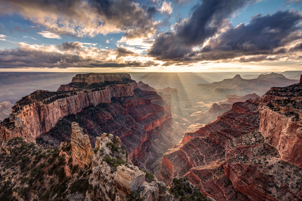
If you want an easy hike that’s also void of crowds, this North Rim hiking trail is just up your alley. The Cape Royal Trail is paved, relatively flat, and boasts panoramic views of the canyon, but that’s just the tip of the iceberg.
Cape Royal Point is one of the only spots with views of the Colorado River in the North Rim. The other viewpoint is Angel’s Window, which is a worthy stop to add on your way back. If you look to the south, you may even spot the top of the Desert View Watchtower.
Best Moderate Hikes in Grand Canyon
Day hikes in the Grand Canyon are all about stunning views and your level of fitness. If you’re an eager hiker looking to stretch your legs on a mildly strenuous hike, check out these moderate hikes.
6. South Kaibab Trail to Ooh Aah Point
- Elevation Gain: 686 feet
- Mileage: 1.80 miles out-and-back
- Trail Guide: Link
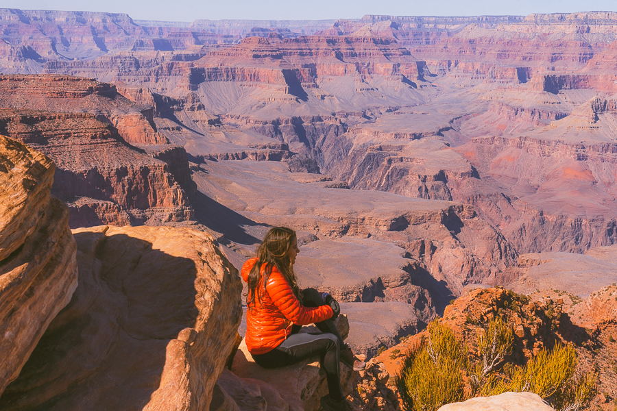
The South Kaibab Trail offers you a much-needed break from the Grand Canyon South Rim Trails that dominate most itineraries. Taking this hiking trail to Ooh Aah Point allows you to admire the stunning inner canyon views of the eastern Grand Canyon.
The trail begins at the South Kaibab Trailhead along Yaki Point Road. It’s quite steep and has numerous switchbacks, so it’s better to do this hike after sunrise. After traversing down, the trail levels out a bit and leads to Ooh Aah Point, where stunning below-rim views await.
7. Grand Canyon South Rim Trail (Rim Trail)
- Elevation Gain: 584 feet
- Mileage: 13 miles point-to-point
- Trail Guide: Link
The Rim Trail features some of the best South Rim day hikes in Grand Canyon National Park. Stretching from the South Kaibab Trailhead to Hermit’s Rest, it connects you with rest stops at Grand Canyon Village and the best viewpoints in the South Rim.
This hiking trail is quite lengthy, but with 14 shuttle stops along the route, you can simply hop-on and hop-off at your preferred viewpoints. You’ll have several routes (red, blue, or orange) to choose from. The red route is the most popular, making nine stops on the way to Hermit’s Rest.
8. South Kaibab Trail to Cedar Ridge
- Elevation Gain: 1,181 feet
- Mileage: 3.11 miles out-and-back
- Trail Guide: Link
The South Kaibab Trail to Cedar Ridge trek is another fantastic Grand Canyon day hike you should take if you’re looking for captivating below-rim views. This hiking trail is ultimately the extended version of the hike to Ooh Aah Point, so it also begins at the South Kaibab Trailhead. You’ll walk down along a steep ridgeline, gradually descending as it meanders through switchbacks.
After the switchbacks, the trail levels out as it hugs the cliffs around it. You can make a quick stop at Ooh Aah Point before you continue trekking further down into the canyon. The trail intensifies, but the descending stairs made of dirt and logs minimize some of the impact.
As you get closer to Cedar Ridge, the trail opens up, and you are greeted with phenomenal views of colorful canyon walls. You’ll find a small bathroom (no running water) and a shady tree to sit for a quick bite, and you may even spot some mules making their way up the trail.
Grab Your Free Car Camping Checklist! 🚗🌲
Ready to elevate your car camping game? Snag our essential checklist to ensure you’ve got everything you need for a stress-free, fun-filled adventure! Perfect for beginners and seasoned campers alike. Download now and hit the road prepared! 🌟🎒
9. Maricopa Point, Powell Point, and Hopi Point via West Rim Trail
- Elevation Gain: 410 feet
- Mileage: 4.29 miles out-and-back
- Trail Guide: Link
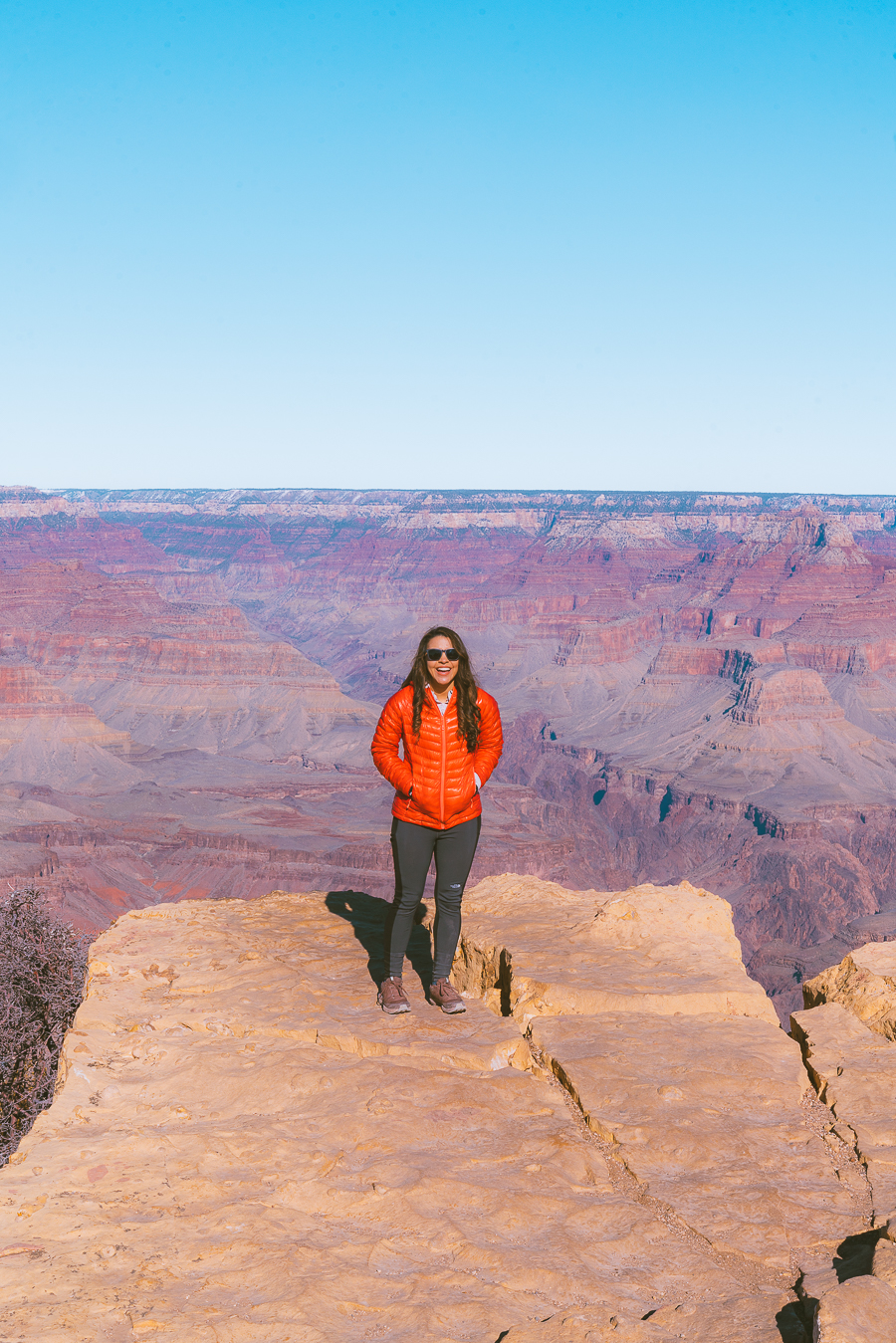
If you’re looking for a short rim hike that’s packed with stunning viewpoints, the trek to Maricopa, Powell, and Hopi Points is one to consider. Located along the Hermit Trail on the South Rim, this hiking trail takes you the furthest you can go into the Grand Canyon.
This is a paved trail that features gentle inclines and declines along the way. And while Hopi Point sits right on the Rim Trail, the others, Maricopa and Powell, require some light rock scrambling. In the end, Hopi Point offers five different views of the Colorado River.
10. Transept Trail
- Elevation Gain: 348 feet
- Mileage: 3.73 miles out-and-back
- Trail Guide: Link
Although it’s one of the lesser-known day hikes in the Grand Canyon, the Transept Trail boasts some of the most phenomenal views in the North Rim. The trail is quite popular as it connects the North Rim Campground, the Visitor Center, and the Grand Canyon Lodge.
In fact, you can see parts of the trail from the overlook just below the lodge’s west patio. But hiking on the Grand Canyon’s Transept Trail is the best way to see it. It runs along the edge of densely forested pine and oak woodlands, giving spectacular views of the Transept.
Best Hard Hikes in Grand Canyon
Experienced hikers will want to take on some of the most strenuous hikes in Grand Canyon National Park to say they’ve conquered this geological marvel. Have a look at some of the best Grand Canyon day hikes that will leave you sweating.
11. Rim-to-Rim (North Kaibab Trail to Bright Angel Trail)
- Elevation Gain: 5,574 feet
- Mileage: 24.61 miles point-to-point
- Trail Guide: Link
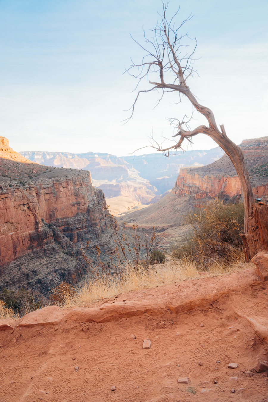
Trekking from the North Kaibab Trail to Bright Angel Trail is one of the most challenging day hikes in the Grand Canyon. Straddling the park from rim-to-rim, this day hike delivers epic scenery, featuring lush vegetation and rugged canyon walls with pink, red, and orange hues.
You can complete this Grand Canyon day hike in less than 24 hours, but many hikers prefer to tackle it as a backcountry hike, with several campgrounds to make use of along the way.
A start from the North Kaibab Trail descends for 14.3 miles (6,000 feet) to the bottom of the canyon. From there, you’ll cross the Colorado River before connecting to the Bright Angel Trail, where you’ll ascend for 9.6 miles (4,500 feet) to the South Rim.
12. Bright Angel Point to Plateau Point
- Elevation Gain: 3,245 feet
- Mileage: 11.93 miles out-and-back
- Trail Guide: Link
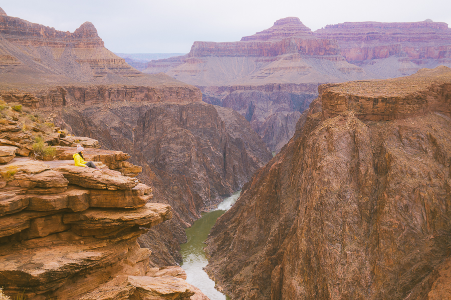
This challenging Grand Canyon hike takes you through one of the park’s most popular hiking trails to a scenic overlook boasting inner canyon and Colorado River views. This is quite a strenuous hike, with about 100 switchbacks cascading down into the rugged red rocks.
The Plateau Point Trail is very safe, being the most well-maintained trail in Grand Canyon National Park. It offers rest houses, shady spots to sit, water facilities, and emergency telephones stationed 1.5 miles apart.
13. Bright Angel Point to Havasupai Gardens
- Elevation Gain: 3,035 feet
- Mileage: 8.89 miles out-and-back
- Trail Guide: Link
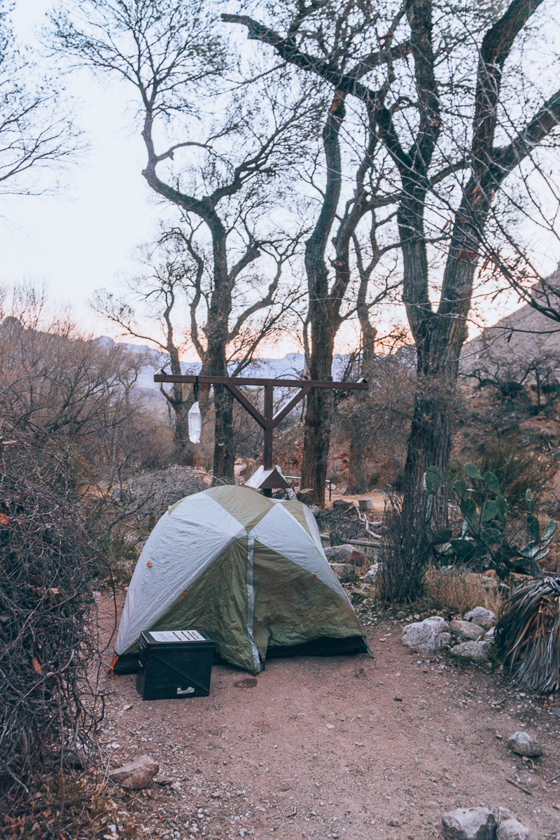
Another thrilling hike you’ll find along the Bright Angel Point Trail takes you to the lush Indian Gardens (also known as the Havasupai Gardens). This beautiful oasis sits right up against the red canyon walls, with a perennial creek running along the bottom.
You’ll find a handful of campsites, trees, and pit toilets at your disposal. The Indian Gardens were once home to the Havasupai tribe, a Native American tribe that lived on corn, squash, and beans. If you look carefully, you’ll see remnant ruins, granaries, and rock art that proves their existence, and give you a sneak peak into the old Grand Canyon life.
Download my free Outdoor Photography Guide
14. Bright Angel Trail to 1.5 Mile Resthouse
- Elevation Gain: 1,184 feet
- Mileage: 3.17 miles out-and-back
- Trail Guide: Link
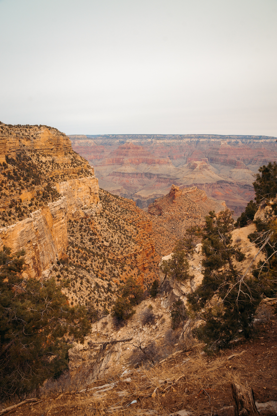
If you’re looking for a short day hike that attracts lots of experienced hikers, the route along Bright Angel Trail to the 1.5-mile Resthouse is perfect for you. It’s a good trek to try if you’re keen on “dipping your feet” into Grand Canyon day hiking but with less impact on your legs.
You’ll begin your day hike directly next to the Grand Canyon National Park Kolb Studio, which houses historic exhibits, art, and a bookshop. The trail descends into the depths of the Grand Canyon along the Bright Angel Trail.
From there, you’ll follow the trail as it snakes its way down the rim. Take the left at the 3-way junction, and you should come up on the resthouse to your right. You’ll find water supplies, bathrooms, and emergency services.
15. Bright Angel Trail to 3 Mile Resthouse
- Elevation Gain: 2,113 feet
- Mileage: 6.09 miles out-and-back
- Trail Guide: Link
This trek to the 3-mile Resthouse is one of the most popular day hikes in the Grand Canyon. It’s often flooded by experienced hikers, but if you have a decent level of fitness, you can add this trek to your Grand Canyon day hikes itinerary.
You’ll start the day hike next to Bright Angel Lodge. From here, you’ll head on to the 1.5-mile Resthouse, traverse through nearly 100 switchbacks, and pass the Indian Gardens. Keep your eyes peeled for a large rock shaped like a shark’s tooth on the left before continuing to the 3 Mile Resthouse. You’ll find basic amenities here, such as water, shelter, and an emergency telephone.
16. South Kaibab Trail to Phantom Ranch
- Elevation Gain: 4,872 feet
- Mileage: 14.29 miles out-and-back
- Trail Guide: Link
The trek along the South Kaibab Trail to Phantom Ranch offers some of the best Grand Canyon South Rim views without the heavy crowds you’ll find along the Rim Trail. Your day hike takes you through several breathtaking vistas like those at Skeleton Point.
After several switchbacks, you’ll cross the Colorado River at the Black Bridge and then pass through the Bright Angel Campground. From here, you’ll continue hiking to Phantom Ranch, where you’ll find a set of rock-built lodges spread across the canyon floor.
17. Bright Angel Trail
- Elevation Gain: 4,478 feet
- Mileage: 15.29 miles out-and-back
- Trail Guide: Link
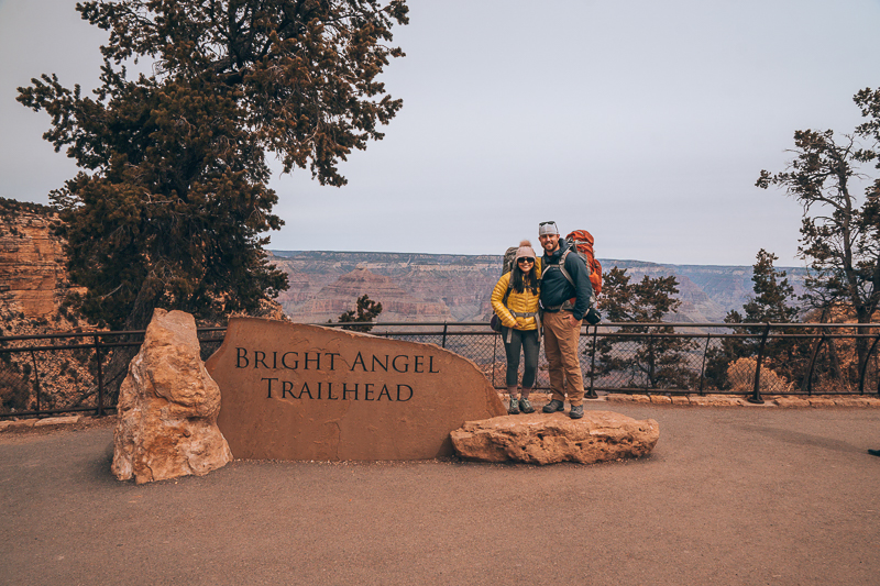
The most popular day hike you can take within Grand Canyon National Park is along the scenic Bright Angel Trail. You’ll walk in the footsteps of the Native American communities that lived here many years ago and use the trail to access the inner canyon and the springs at the Indian Gardens.
The Bright Angel Trail begins at Grand Canyon Village. Along the way, you’ll have several viewpoints and rest stops at your disposal. After passing a couple of tunnels, you’ll come up on the 1.5-mile Resthouse, followed by the 3-mile Resthouse. Continue on to the Indian Gardens and end your hike with sweeping views of the Colorado River at Plateau Point.

Note: Water is seasonally available at the 1.5 and 3 Mile Rest Houses from May to October, but you’ll have access to water all year round at the Indian Gardens.
Best Grand Canyon Hikes | FAQs
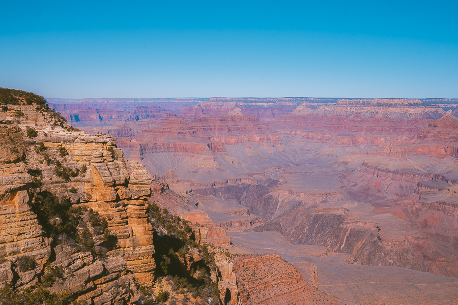
Here are some commonly asked questions concerning the best Grand Canyon day hikes.
What Is the Best Hike for One Day in the Grand Canyon?
The South Kaibab Trail offers some of the best day hiking excursions in the Grand Canyon. Despite not being as popular as the Bright Angel Trail, the South Kaibab Trail offers spectacular viewpoints along the South Rim but with fewer crowds.
What Are the Easiest Hikes in the Grand Canyon?
The easiest hikes in the park are located along the Grand Canyon Rim Trail. With minimum elevation, multiple stops, and amenities along the way, it’s ideal for soft hiking.
What Is the Best Rim to Hike the Grand Canyon?
This depends on your skill level. If you’re a beginner hiker, you may want to spend most of your time on the South Rim. Moderate and experienced hikes can venture further into the West and East Rim, where you’re likely to combat switchbacks and higher elevations.
Best Grand Canyon Day Hikes | Wrapped Up
All in all, the best Grand Canyon day hikes offer incredible scenery throughout. From short and easy hikes you can complete in under an hour to long-distance treks stretching from rim-to-rim, you’ll have a plethora of stunning canyon trails to explore.
The best part of hiking in the Grand Canyon is that you’ll be walking through millions of years of geological and Native American history.
Whether you’re a novice hiker looking for a low-impact hike or an avid explorer going on a backcountry trip, you’ll get the best Grand Canyon views no matter the trail you take.

